


Philip's RGS Junior School Atlas
Philip's RGS Junior School Atlas
Couldn't load pickup availability
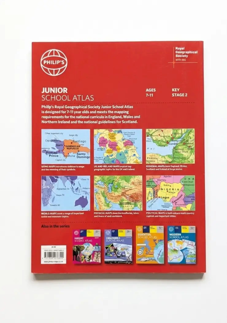
The introductory section describes the meaning of scale, how to measure distances using the maps, and explains the symbols on the maps. The following section is devoted to the United Kingdom and Ireland. Thematic maps cover topics such as mountains and rivers, climate and weather, population and cities, farming and fishing, industry and energy, transport, tourism and conservation. The rest of the atlas is made up of world thematic maps and world continental maps. Included are topics such as the world's climate, vegetation, agriculture, energy sources, and environmental concerns, such as global warming. A simple letter-figure index completes the atlas. Available in both Hardback and Paperback editions.
Author: Philip's Maps
Cover Type: Papercover
Age: 7+
Pages: 64

- Choosing a selection results in a full page refresh.
- Opens in a new window.